لاس پینیاس
لاس پینیاس (به لاتین: Las Piñas) یک شهر که در کلانشهر مانیل، فیلیپین واقع شدهاست.[3]
Las Piñas | |
|---|---|
Highly-Urbanized City | |
| City of Las Piñas | |
 | |
 مهر | |
| لقب(ها): Home of the Bamboo Organ, City of Love and Progress, Salt Center of Metro Manila, Lantern Capital of Metro Manila | |
| شعار(ها): Las Piñas, Our Home | |
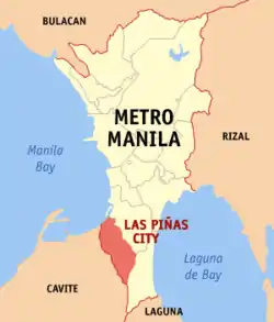 Map of Metro Manila showing the location of Las Piñas | |
.svg.png.webp) Las Piñas Location within the Philippines | |
| مختصات: ۱۴°۲۶٫۷′ شمالی ۱۲۰°۵۹٫۶′ شرقی | |
| Country | |
| Region | کلانشهر مانیل |
| Districts | Lone District of Las Piñas |
| Incorporated (Town) | 1762 or 1797 |
| Incorporated (Separated from Parañaque) | March 27, 1907 |
| Incorporated (City) | March 26, 1997 |
| Barangays | 20 |
| مدیریت | |
| • Mayor | Vergel A. Aguilar (Nacionalista) |
| • Vice Mayor | Luis I. Bustamante (Nacionalista) |
| • Sangguniang Panlungsod | Councilors
|
| مساحت | |
| • کل | ۳۲٫۶۹ کیلومتر مربع (۱۳ مایل مربع) |
| جمعیت (2010)[2] | |
| • کل | ۵۵۲٬۵۷۳ |
| • تراکم | ۱۷۰۰۰/کیلومتر مربع (۴۴۰۰۰/مایل مربع) |
| نام اهلیت(ها) | Las Piñero |
| منطقه زمانی | یوتیسی +۸ (Philippine Standard Time) |
| ZIP code | 1740 - 1752 |
| Dialing code | 2 |
| وبگاه | |
جستارهای وابسته
منابع
- "Province: NCR, FOURTH DISTRICT". PSGC Interactive. Makati City, Philippines: National Statistical Coordination Board. Archived from the original on 17 May 2013. Retrieved 29 November 2012.
- "2010 Census of Population and Housing: National Capital Region" (PDF). National Statistics Office of the Republic of the Philippines. Archived from the original (PDF) on 25 June 2012. Retrieved 12 June 2012.
- مشارکت کنندگان ویکیپدیای انگلیسی. «Las Piñas».
This article is issued from Wikipedia. The text is licensed under Creative Commons - Attribution - Sharealike. Additional terms may apply for the media files.